Lowell Area Set for Low 70s Ahead of Late Week Rain
A dry stretch of warm weather will precede showers arriving Thursday evening and persisting through the weekend.
By Andrew Yang ·
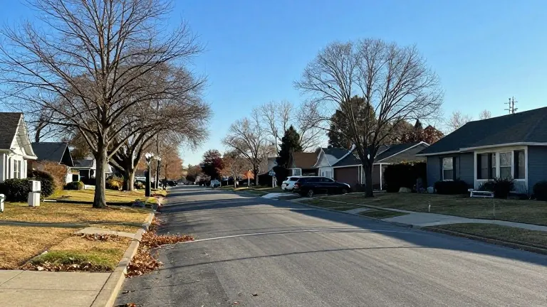
A warm, dry weather pattern will dominate the region through Wednesday, with afternoon temperatures reaching the upper 60s and low 70s before rain returns Thursday night.
The shift marks a departure from the cooler conditions experienced over the weekend, when highs hovered in the 50s. Meteorologists forecast a rapid warming trend beginning Monday. Mornings will start chilly with lows in the 30s and 40s, but afternoon highs will climb into the mid to upper 60s. Some areas may briefly reach the 70-degree mark. Winds will remain breezy under mostly to partly sunny skies.
The warm trend continues into Election Day on Tuesday. Morning temperatures will start in the 40s, followed by dry, partly sunny conditions and afternoon highs in the upper 60s and low 70s. Wednesday will bring unusually mild temperatures for this time of year, with morning lows in the upper 40s and low 50s. Afternoon highs will stay in the upper 60s and low 70s under bright skies.
Thursday will see increased cloud cover, though morning temperatures will remain mild in the 50s. Rain chances will not materialize until the evening and nighttime hours. Friday will bring clouds and showers, keeping temperatures in the 50s and 60s throughout the day. Saturday mornings will dip to the upper 40s and low 50s, with afternoon highs falling back to the low 60s. Showers may continue into Saturday.
Sunday is trending drier and cooler. Lows will drop to near 40 degrees, while highs will hover near 60 under partly sunny conditions.