Santa Ana Winds: Southern California Braces for Fire Risk and Flooding
Gusty winds and high tides threaten the region this weekend, with a wetter forecast arriving by Nov. 13.
By Andrew Yang ·
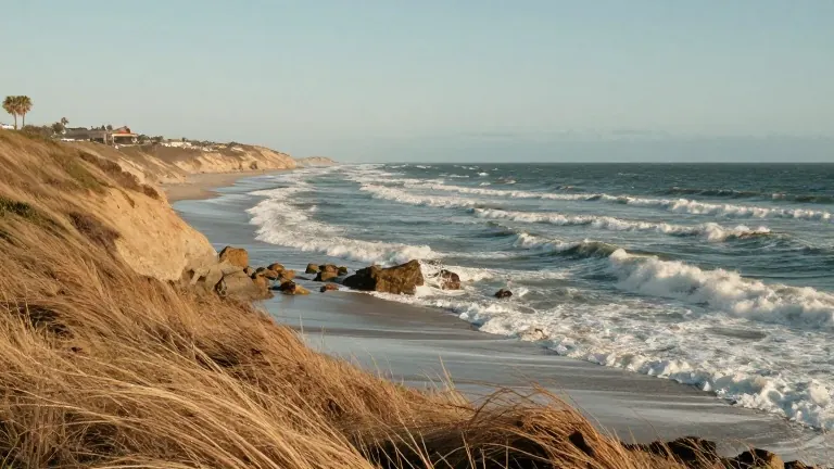
Southern California residents face a volatile weekend as dry heat and strong offshore winds collide with rising tides. The National Weather Service forecasts gusty Santa Ana winds that could ignite wildfires in dry vegetation while simultaneously driving hazardous surf and coastal flooding along the shoreline.
Wind speeds are expected to reach 25 to 40 mph across much of the region on Friday and Saturday. In wind-prone mountain and canyon areas of Los Angeles and Ventura counties, gusts may hit 35 to 50 mph. Farther south, parts of Orange County and the Inland Empire could see gusts of 30 to 40 mph. Temperatures will climb into the 80s, with some communities potentially reaching the low 90s. Coastal and valley neighborhoods are projected to see highs in the mid to upper 80s through Sunday.
KTLA weather anchor Kaj Goldberg noted that Friday marks the start of warmer daytime highs. He stated that high temps in the mid to upper 80s will persist on Saturday and Sunday afternoons. Meteorologist Chris Nunley warned that elevated to locally critical fire weather conditions remain possible before winds ease Sunday. Cooler temperatures are set to arrive Monday.
The fire danger stems from a combination of dry air, heat, and gusty winds. Although recent rainfall has reduced some of the threat, live fuel moisture levels remain between 65% and 80%. This level indicates that vegetation can still pose a fire risk under the right conditions. The risk is particularly high in Los Angeles and Ventura counties on Friday and Saturday.
Beachgoers and coastal property owners face separate hazards from the ocean. Morning high tides are expected to reach between 7.1 and 7.7 feet through the coming days. Peak surf could reach 8 to 12 feet along the Central Coast and 5 to 8 feet in Ventura County. Elsewhere, waves may range from 2 to 5 feet. Orange County surf is expected to build from 2 to 4 feet to around 3 to 5 feet over the weekend, while Los Angeles and Ventura counties could see similar wave heights.
Goldberg indicated that a Kelvin wave and higher ocean surface levels create a chance for minor coastal flooding and beach erosion. The Weather Service identifies Monday and Tuesday as the days with the greatest coastal flooding and surf concerns. Low-lying areas are particularly vulnerable to these effects.
The sunny and warm conditions are expected to give way to a wetter stretch starting around Nov. 13. The National Weather Service outlook highlights the period from Friday through Tuesday, Nov. 13 to 17, as a window when at least moderate widespread rainfall is likely. The highest chances for precipitation fall between Saturday and Monday.
More Business · Scam Watch · Report a business · Got a Story?